The Watershed, at Print Size
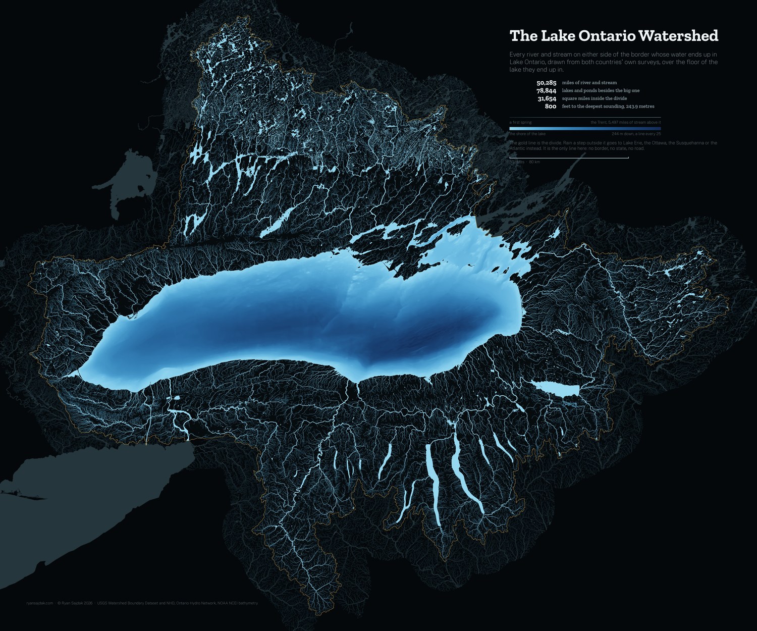
Every river and stream that ends in Lake Ontario, on both sides of the border, drawn large enough to hang. Free, at full resolution.
7,200 × 6,000 pixels at 300 DPI, which is 24 × 20 inches on paper. Print smaller and it only gets sharper.
What it is drawn from
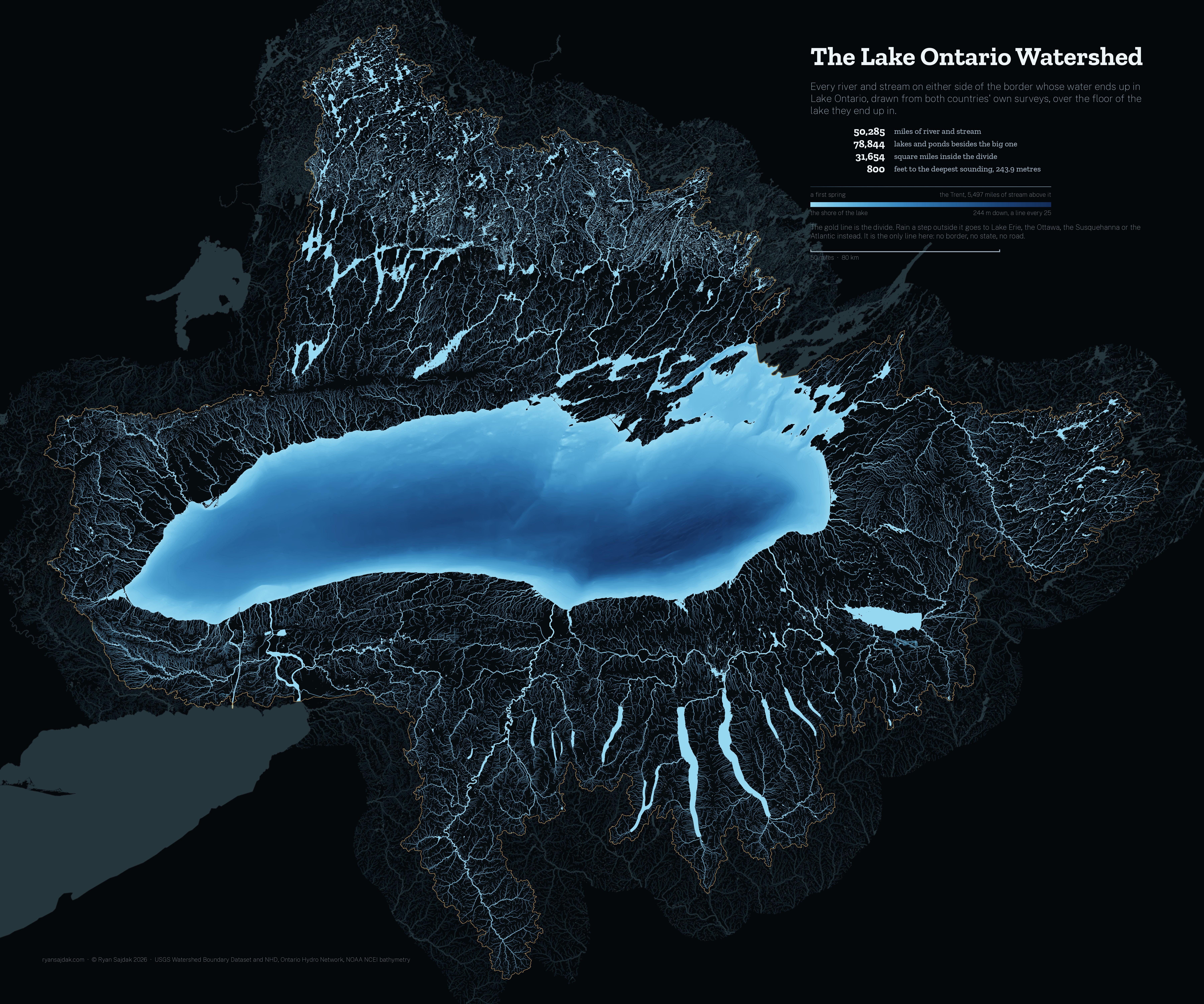
The divide is the USGS Watershed Boundary Dataset at HUC4, four subregions unioned: Southwestern Lake Ontario, Southeastern Lake Ontario, Lake Ontario and Niagara Peninsula, and Lake Ontario. Two of those four are mostly Canadian and the dataset draws them anyway, which is why the line does not stop at the border. Unioned and measured in an equal-area projection it comes to 81,983 square kilometres, against the 82,990 the International Joint Commission publishes.
The water is each country's own survey: the USGS National Hydrography Dataset at 1:24,000 in the United States, the Ontario Hydro Network in Canada. Neither ships a usable stream order, so every reach was snapped end to end into a network and the miles above it accumulated downhill; that number is what sets how wide it is drawn.
The lake floor is NOAA NCEI's 3 arc-second grid of Lake Ontario, the finest that covers the whole lake. Its deepest cell is 243.9 metres, against the 244 the lake is published at.
Printing it
It is a lot of dark ink. A matte or lustre paper holds the fine streams better than glossy, and any print shop that takes a 300 DPI JPEG can run it at 24 by 20. Smaller is fine too: at 12 by 10 it is 600 DPI and the headwaters are still there.
Free to print and hang, yours or a gift. If you sell it, that is not free. ☕ Coffee if it ends up on your wall.